|
 |

Central Neighbourhoods of Obo
Showing Stool Allocation
por Phil
Bartle, PhD
traduzido por
|
|


Maps
 .
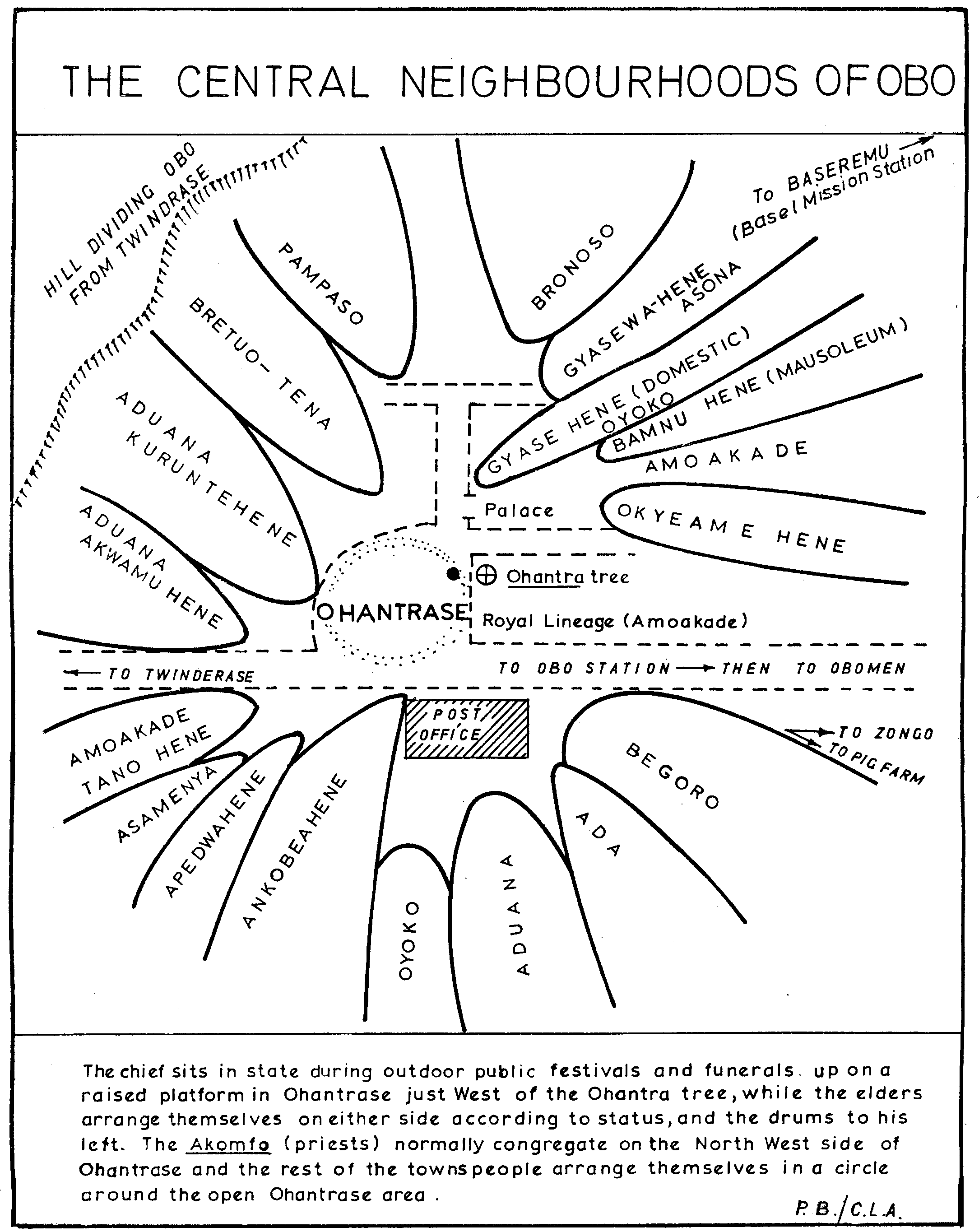
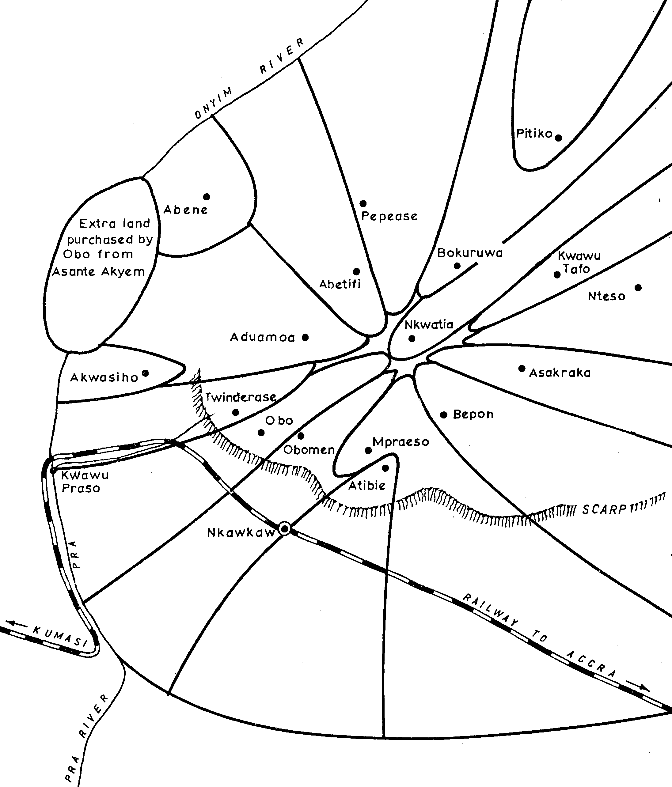
The wedge shaped land
settlement pattern is also reflected in the land pattern of the town
of Obo. Each of the names on the above sketch refer to a matrilineage,
an elder of the court, or a named neighbourhood of the town. Compare
this to the
map I made in order to make a household
survey.
.
The wedge shaped land
settlement pattern is also reflected in the land pattern of the town
of Obo. Each of the names on the above sketch refer to a matrilineage,
an elder of the court, or a named neighbourhood of the town. Compare
this to the
map I made in order to make a household
survey.
Amoakade is the royal matrilineage of
Obo, Chief and Queen Mother. It belongs to the Aduana moiety along with
Ada. The lineage of the Kontihene, which is Aduana, is the oldest clan
in the moiety. The spelling, "Kuruntehene" is not exactly accurate,
but that is what it sounds like, and is in many archival documents.
The lineage of the Ankobeahene is also Aduana, and can trace their history
to the conversion from Guan to Akan, patrilineal descent to matrilineal
descent. The neighbourhood of the Amoakade Tano Hene is the one,
related to the Obo royals, that owns the office of the Tano god, which
came to Obo with the royal family from the head of the Tano River in what
is now Brong Ahafo Region close to the Ivory Coast border. The Gyaasehene,
like the Minister of the Interior, is related to the royals of Asante in
Kumase.
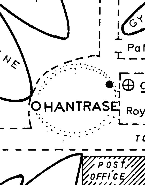
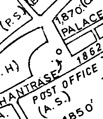
Ohantrase

––»«––
|
Ghana
|
Obo Central
|
Historical
|
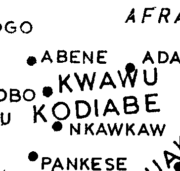
Kwawu
|
|
|
|
|
|
Trade
|
Settlements
|
.
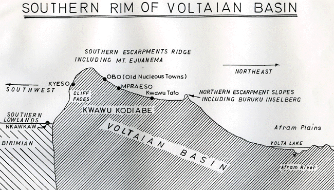
Geology
|
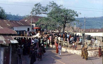
Obo Streets
|
|