|
 The maps on this site
are designed to illustrate and enhance several other topics, notably history,
land and settlement patterns, and locations. Together, they can be seen
as a separate topic, but are best when used as references in conjuction
with other pages.
The maps on this site
are designed to illustrate and enhance several other topics, notably history,
land and settlement patterns, and locations. Together, they can be seen
as a separate topic, but are best when used as references in conjuction
with other pages.
Maps:
Descriptions:
-
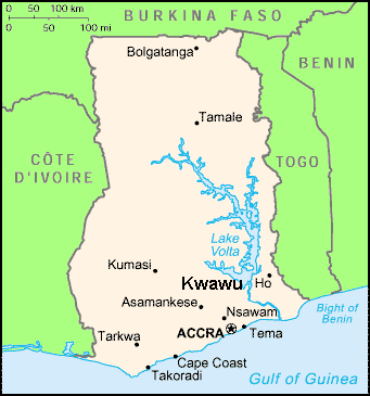
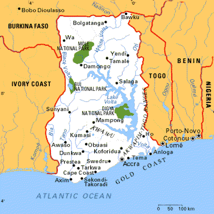
Map of Ghana,
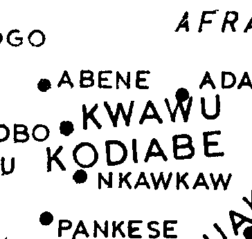
This is an outline of the country of Ghana showing the location of Kwawu
on it.
-
Kwawu Historical;
Kwawu developed mainly on the escaprpment, but also had interesting events
on the Afram Plains, north of the Excarpment
-
Trade Routes;
Wars and the expansion of the Akan, including Kwawu, was mainly about the
acquisition and control of trading routes through the rainforest.
-
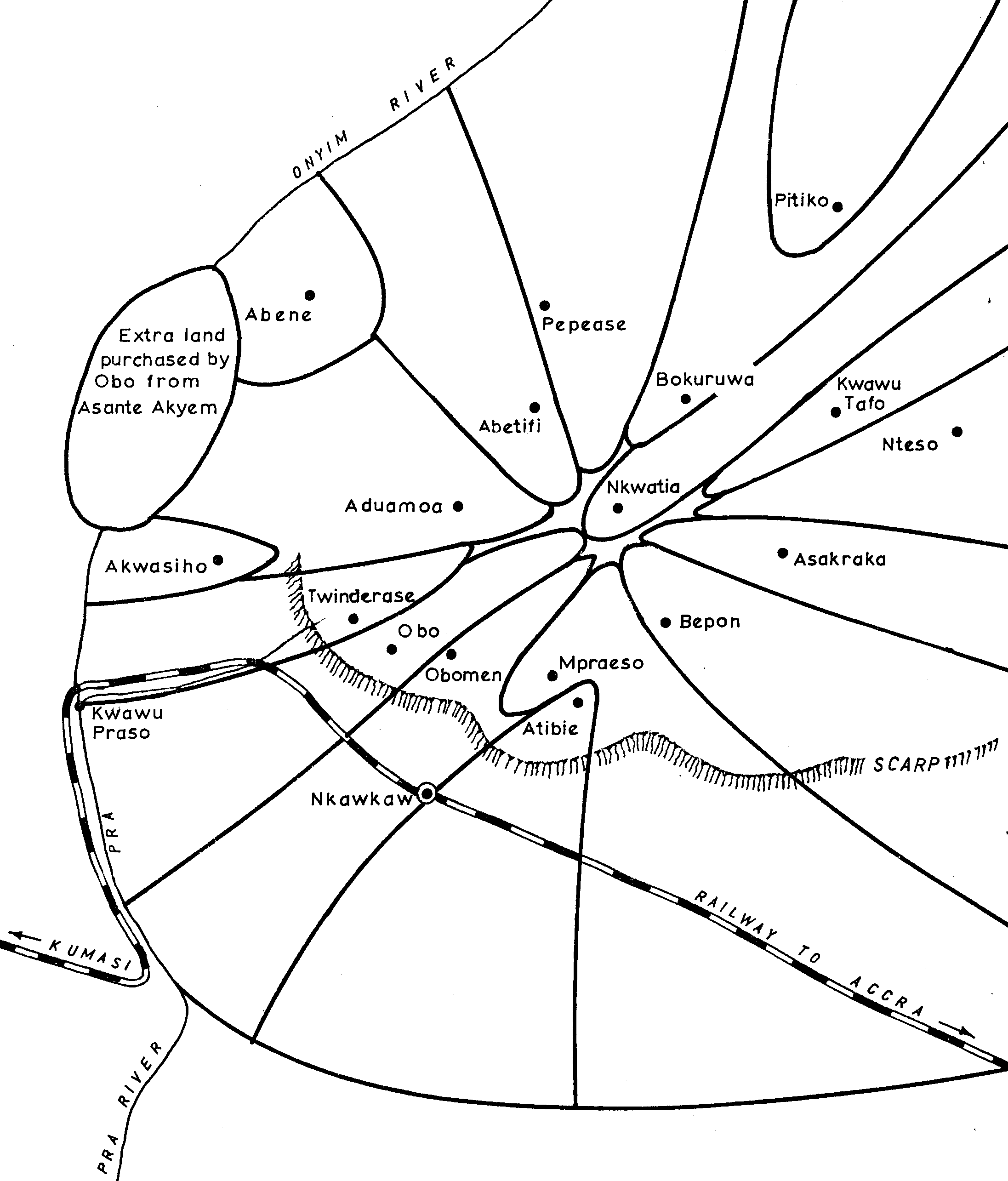
Sketch of Kwawu;
The pie shaped distribution of lands around settlements applied to the
whole of Kwau and is sketched here.
-
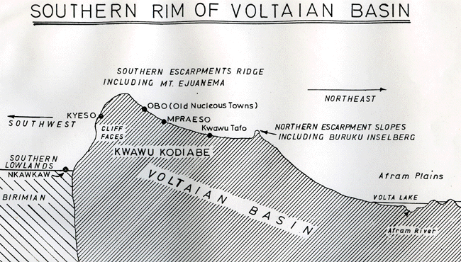
Geology of Kwawu;
A vertical cross section of the escarpment with the lowlands to the south
and the Afram to the north.
-
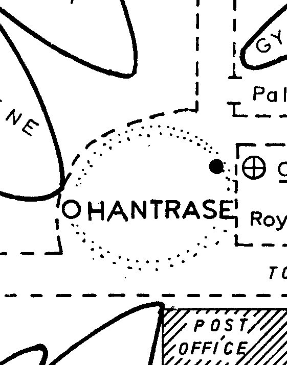
Sketch of Obo;
The map that I constructed in order to make a household survey of Obo
-
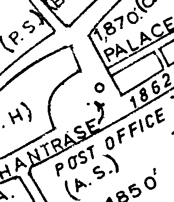
Central Obo;
The pie shaped land distribution pattern repeats itself in the old section
of Obo focused on the chief's palace and the ancestral stool houses of
the old matrilineages.
-
Settlement Patterns.
A diagramme showing the origin and development of the pie shaped pattern.
...

––»«––
.
|
Ghana
|
Centro de Obo
|
Historia
|
Kwawu
|
|
|
|
|
Comercio
|
Asentamientos
|
.
Geología
|
Calles de Obo
|
|
 .
.